Survey Expertise, Not Just Drone Expertise
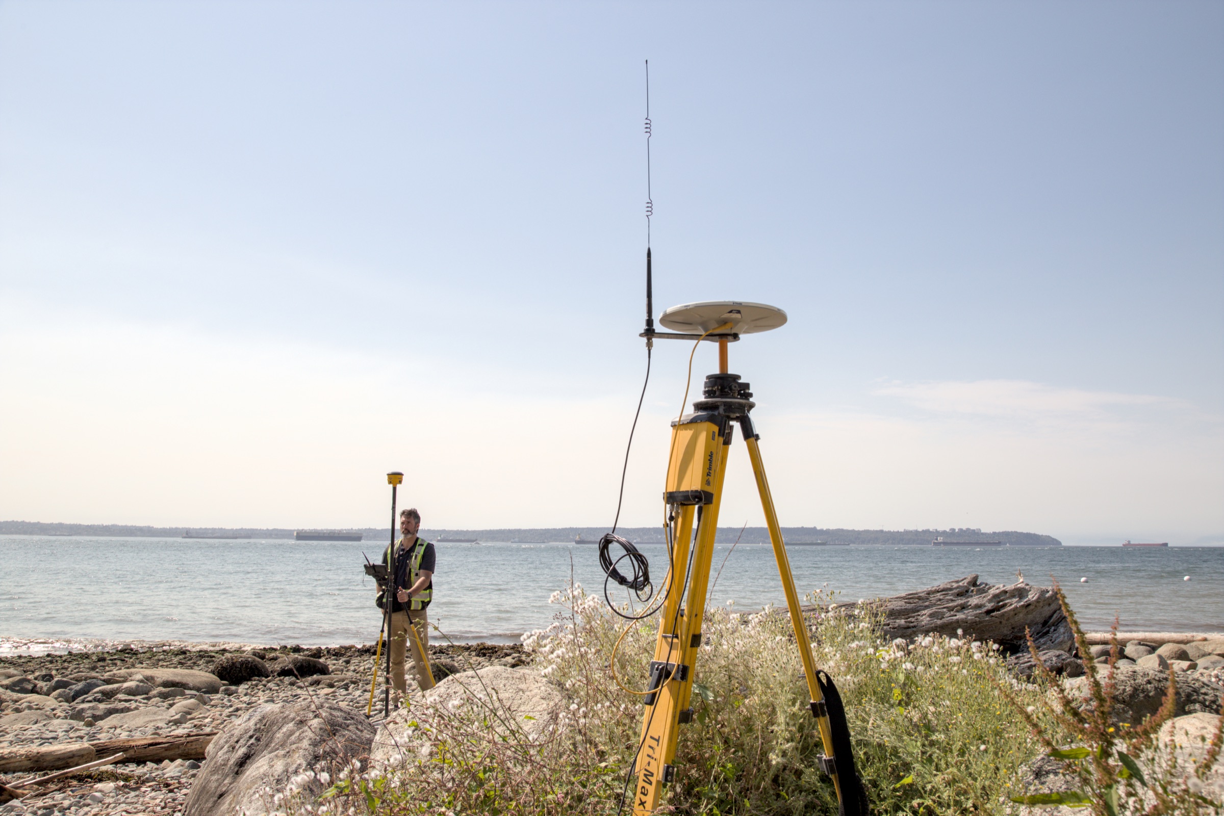
Our foundation is in surveying and geomatics, providing a strong understanding of accuracy requirements, control networks, coordinate systems, engineering standards, and quality assurance.
Who We Are
Spitfire Drone Survey is a British Columbia-based geomatics and reality capture company providing UAV LiDAR, photogrammetry, GNSS surveying, existing conditions documentation, and geospatial data solutions for engineering, construction, infrastructure, environmental, and land development projects.
Our Foundation
What makes Spitfire different is that we are not simply a drone company. Our roots are in both surveying and construction. Operating alongside North Construction, an established heavy civil contractor, gives our team firsthand experience with how geospatial data is actually used throughout the lifecycle of a project, from planning and design through construction and long-term asset management.
We understand that accurate data is only valuable if it can be confidently applied in the real world. Whether supporting engineers, contractors, municipalities, or developers, our focus is on delivering practical, reliable information that helps our clients make informed decisions.
Our services include drone LiDAR mapping, aerial photogrammetry, construction monitoring, topographic surveys, construction survey support, machine control support, utility documentation, existing conditions surveys, building documentation, and reality capture solutions tailored to the needs of each project.
Every project is supported by established workflows, survey-grade control, and structured QA/QC procedures designed to deliver dependable results.
Backed by North Construction
Spitfire Drone Survey was established to bring advanced reality capture and geospatial technologies to engineering and construction projects.
Operating alongside North Construction, Spitfire benefits from decades of practical experience in heavy civil construction, survey operations, machine control, and project delivery. This relationship provides a unique understanding of how geospatial information is used in the field, allowing us to deliver solutions that align with the needs of both engineers and contractors.
Rather than viewing projects solely through a surveying or technology lens, we understand the realities of construction, scheduling, design coordination, earthworks, utility installation, and project execution. This perspective helps ensure that the data we collect is practical, relevant, and useful to the teams relying on it.
Why Clients Trust Spitfire
Technical rigour, practical construction knowledge, and deliverables designed for established project workflows.
Our foundation is in surveying and geomatics, providing a strong understanding of accuracy requirements, control networks, coordinate systems, engineering standards, and quality assurance.
Our close connection to North Construction provides firsthand understanding of how geospatial data is used throughout the construction lifecycle, from design and planning through execution and project closeout.
Structured QA/QC procedures, survey-grade control, and rigorous validation workflows help ensure that our deliverables can be confidently used for engineering and construction decision-making.
We select reality capture technologies based on project requirements rather than forcing every project into the same workflow. Whether the solution involves UAV LiDAR, photogrammetry, GNSS, conventional survey methods, or existing conditions documentation, our focus is on achieving the best outcome for the client.
Data can be delivered in formats suitable for CAD, GIS, BIM, machine control, digital twins, asset management systems, and other project-specific requirements.
Our clients work directly with experienced professionals who understand both the technical and practical aspects of project delivery. We believe clear communication, responsiveness, and accountability are as important as the technology itself.
Meet the Team
Surveying, geomatics, construction, and reality capture experience brought together in one field-focused team.

Survey & Geomatics Manager
Gavin is a geomatics professional with more than 20 years of experience in surveying, construction, GNSS, machine control, Drone LiDAR, photogrammetry, and reality capture technologies.
His experience includes infrastructure, land development, transportation, utilities, environmental projects, and major civil construction works throughout British Columbia.
He holds a Diploma in Geomatics Engineering Technology and has extensive experience supporting contractors, engineers, developers, and infrastructure owners with accurate geospatial data and practical project solutions.
Prior to specializing in reality capture and UAV survey technologies, Gavin spent many years managing survey operations and machine control systems on civil construction projects. This combination of traditional surveying expertise and modern data acquisition technologies gives him a unique understanding of not only how data is collected, but how it is ultimately used for design, construction, and decision-making.

Senior Geomatics Technologist
Owen is a Geomatics Technologist with a Bachelor of Science in Geography concentrating in Geomatics from the University of Victoria and a Diploma in Geomatic Engineering Technology from BCIT. With 9 years of professional surveying experience and 7 years specializing in UAV and drone-based survey operations, he brings extensive expertise in geospatial data acquisition, mapping, and survey project delivery.

UAV & Reality Capture Specialist
Bill was born and raised in Squamish, BC, where his family's involvement in the civil excavation industry provided early exposure to construction projects and field operations.
Over several years working in construction and surveying environments, Bill has developed experience in GNSS field operations, total station surveys, UAV data acquisition, photogrammetry, and LiDAR mapping.
Since joining Spitfire Drone Survey, he has become an integral member of the reality capture team, supporting projects throughout British Columbia and helping deliver accurate, high-quality geospatial data.
Bill holds an Advanced RPAS Certificate and plays an important role in field data collection and project execution. His longstanding passion for photography has proven especially valuable in drone-based photogrammetry, where image quality, attention to detail, and consistency are essential to producing reliable results.
Our Mission
Find out how we can help.

378 Esplanade E, North Vancouver, BC V7L 1A4
604-674-6900 | info@spitfiredronesurvey.com

Spitfire is excited to announce that we’ve been nominated for a North Vancouver Chamber Business Excellence Awards in the Innovation Category. The annual Business Excellence Awards recognize outstanding achievements of business people and business organizations in our community.